UNFOLDING THE WOLDAN COLLECTION - a prototype for dissemination and visualization of cultural heritage in a spatial-temporal way
- Hosting organisations
- BAS:IS-ÖAW Bibliothek, Archiv und Sammlungen
- Responsible persons
- Andreas Krexhammer
- Start
- End
GIS (geoinformationsystems) or GIScience, their instruments and methods of study, data structures and computational techniques for capturing, representing, processing, and analyzing geographic information have been well established in geography for decades. More and more disciplines like humanities and history recognize the advantages of this spatial approach. The benefit is simple; GIS makes information mappable and users can discover relationships that make a complex world more immediately understandable by visually detecting spatial patterns that remain hidden in text and tables.
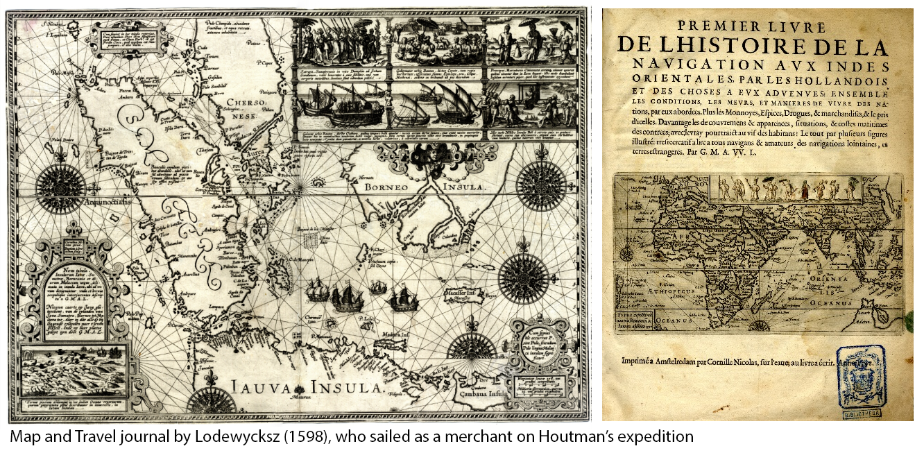
New methods and technologies in geoprocessing and localization enable scholars to transfer historical sources and individual content of these sources into geodata. This also opens up the possibility of transferring a cultural heritage collection – like the Woldan Collection - into geodata, with all the benefits of GIS. Furthermore, it allows such a collection to be investigated in a spatial-temporal way and on a very detailed and specific level. Quite simply, it makes information accessible that wasn`t visible before. The project aims to create a complete data model and to evaluate tools and methods in order to transfer historical sources into geodata. This data will be presented and disseminated through a geodata-portal, which enables the user to research any historical source through time and space. The success of this project will be manifested in a prototype capable of telling two very different map stories based on the geodata we gained from the historical sources. On one hand, it will involve the story of the first Dutch expedition to East India (1595-1597) made by Cornelius Houtman – the Woldan Collection holds some rare and valuable material on this expedition. On the other hand, we want to map the history of rail transport in Austria (1824-1918) and the Austrian empire, using the collection’s comprehensive stock of maps, literature and pictorial material pertaining to this subject.