Austrian Land Registers
- Hosting organisations
- Uni Innsbruck - Forschungszentrum Digital Humanities
- Responsible persons
- Günter Mühlberger, Kurt Scharr, and Gerhard Siegl
- Start
- End
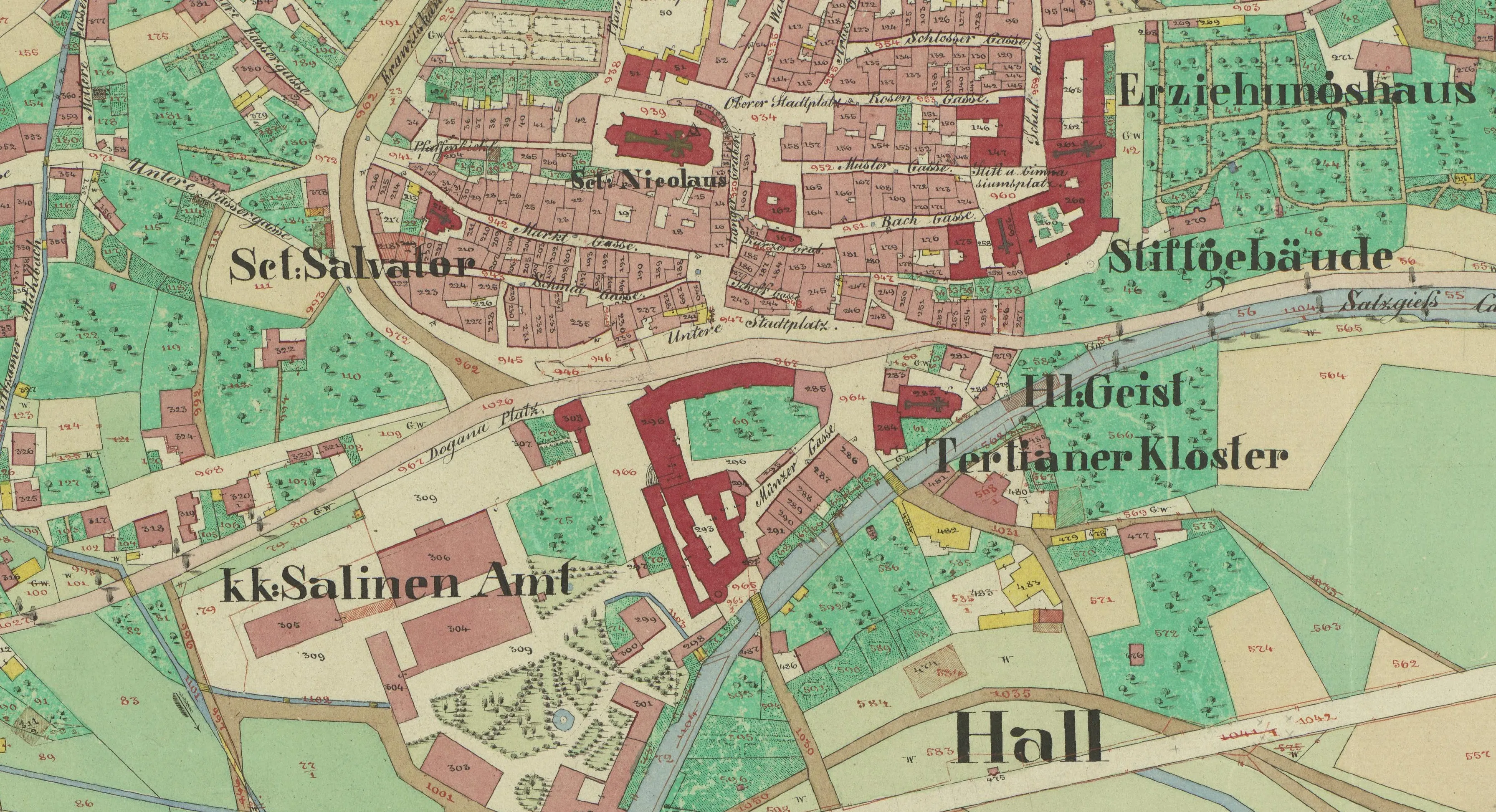
The Franziszeische Kataster is the first complete real estate cadastre of the Habsburg Monarchy. Created between the 1810s and 1870s, it records the land in the territory of the Austrian Empire with the aim of creating a uniform basis for the assessment of land tax. In the crown land of Tyrol-Vorarlberg, the Franziszeische Kataster (“Urmappe”) was recorded at a scale of 1:2880 in several years of work between 1851 and 1861. In addition to the more than 3000 Urmappen, the so-called Detailvermessungsoperate (DVO) are available. Here, in turn, the building and plot records are of decisive importance, as they contain the names, status and place of residence of the owners, as well as the type of use and the size of the plot. The protocols are linked to the original folders via the parcel number.
In the project, all accompanying documents were digitised and recorded using automated handwriting recognition. They are already searchable in full text and thus allow quick access. This application is supplemented by a citizen science platform, where the details of the building and land parcel records can be recorded manually and linked to the original folders. The Tyrolean Education Forum and the Tyrolean local chroniclers, many of whom take on this work as volunteers, play a special role here. A first prototype of the application went online in September 2020, since then more than 1000 hours of volunteer work have been done and almost 200,000 plots have been recorded. The project will be continued by the University of Innsbruck, READ-COOP SCE and BEV after the end of the project funding. Both federal states and individual municipalities in Austria can contact the project operators at any time to extend the application to their area.
Learn more here: Transkribus für Katasterdokumente. Ein Werkstattbericht